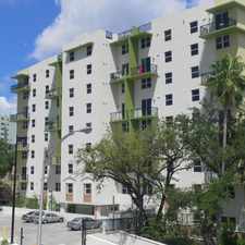
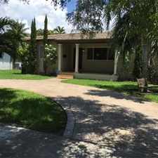
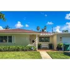
300 Palm Avenue
Almost all errands require a car.
A few nearby public transportation options.
Flat as a pancake, minimal bike lanes.
About your score
300 Palm Avenue has a Walk Score of 12 out of 100. This location is a Car-Dependent neighborhood so almost all errands require a car.
This location is in Miami Beach. Nearby parks include Watson Island Park, Seamans Park and Watson Park.
Explore how far you can travel by car, bus, bike and foot from 300 Palm Avenue.
300 Palm Avenue has some transit which means a few nearby public transportation options. Car sharing is available from RelayRides.
Rail lines:
908 METROMOVER OMNI/BRICKELL OUTER LOOP
1.3 mi
909 METROMOVER INNER LOOP
1.4 mi
Bus lines:
119 S-AVENTURA-CBD VIA COLLINS & ALTON
0.3 mi
103 C-MT SINAI HOSP-CBD VIA WASH AVE
0.3 mi
113 M-CIVIC CENTER-MIAMI BEACH
0.3 mi
120 BEACH MAX: CBD-AVENTURA MALL
0.5 mi
101 A-VIA VENETIAN CAUSEWAY
0.6 mi
MIACOR City of Miami Trolley (Coral Way)
0.7 mi
9 AVENTURA - CBD VIA NE 6 & 2 AVE
1.4 mi
Car shares:
This location is in the city of Miami Beach, FL. Miami Beach has an average Walk Score of 73 and has 87,779 residents.

Miami Beach Public Library
La Sandwicherie
Cara Mia Trattoria


If you are using a screen reader or having trouble reading this website, please call Walk Score customer service at (253) 256-1634.
© 2024 Walk Score