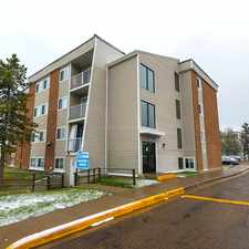
349 Jillings Crescent Northwest
Jackson Heights, Edmonton, T6L 6Y3
Commute to Downtown Edmonton
Almost all errands require a car.
A few nearby public transportation options.
About your score
349 Jillings Crescent Northwest has a Walk Score of 15 out of 100. This location is a Car-Dependent neighborhood so almost all errands require a car.
This location is in the Jackson Heights neighborhood in Edmonton. Nearby parks include Larkspur Park, Jackie Parker Recreational Area and Mill Creek Ravine - South East, Edmonton, AB.
Explore how far you can travel by car, bus, bike and foot from 349 Jillings Crescent Northwest.
349 Jillings Crescent Northwest has some transit which means a few nearby public transportation options.
Bus lines:
69 Mill Woods TC - Meadows - Millgate
0.4 km
92 Millgate-Pylypow Industrial
0.4 km
897 Lakewood - Wild Rose/Millgate
0.5 km
971 McNally - Jackson Hts - Larkspur - MDOW
0.5 km
878 Hardisty - Jackson Hts - Kiniski - MWTC
0.5 km
869 Ottewell-AOB - Jackson Hts-Larkspur-Silverberry
0.5 km
698 Jackson Heights - Father Michael Troy
0.5 km
68 Mill Woods TC - Millgate
0.5 km
861 McNally/Hardisty/AOB - Burnewood
0.5 km
921 McNally - Silverberry
0.5 km
349 Jillings Crescent Northwest is in the Jackson Heights neighborhood. Jackson Heights is the 203rd most walkable neighborhood in Edmonton with a neighborhood Walk Score of 36.


If you are using a screen reader or having trouble reading this website, please call Walk Score customer service at (253) 256-1634.
© 2024 Walk Score