
4295 Outer Traffic Circle
Traffic Circle, Long Beach, 90804
Commute to Downtown Long Beach
Most errands can be accomplished on foot.
A few nearby public transportation options.
Biking is convenient for most trips.

4295 Outer Traffic Circle has a Walk Score of 80 out of 100. This location is Very Walkable so most errands can be accomplished on foot.
This location is in the Traffic Circle neighborhood in Long Beach. Nearby parks include Plaza Zaferia, Joe Rodgers Field and Stearns Park.

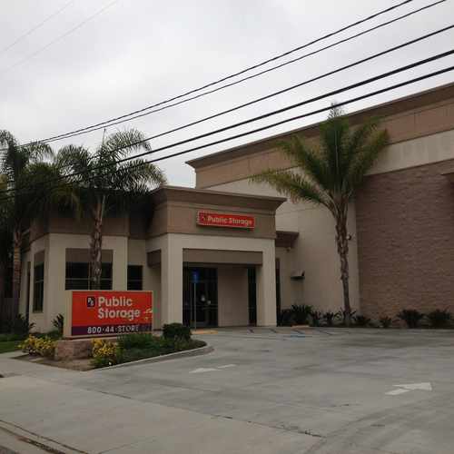
Climate controlled units, boxes and packing materials for sale.
Explore how far you can travel by car, bus, bike and foot from 4295 Outer Traffic Circle.
4295 Outer Traffic Circle has some transit which means a few nearby public transportation options.
Bus lines:
111 BROADWAY / LAKEWOOD
0.2 mi
112 BROADWAY / CLARK
0.2 mi
174 PCH / XIMENO
0.2 mi
171 PCH / SEAL BEACH
0.2 mi
173 PCH / STUDEBAKER
0.2 mi
175 PCH / CSULB
0.2 mi
172 PCH / PALO VERDE
0.2 mi
121 OCEAN BLVD - CSULB - OUTER CIRCLE
0.2 mi
91 7TH ST. TO BELLFLOWER
0.2 mi
4295 Outer Traffic Circle is in the Traffic Circle neighborhood. Traffic Circle is the 18th most walkable neighborhood in Long Beach with a neighborhood Walk Score of 79.
Moving to Long Beach from another city? View our moving to Long Beach guide.

Child Net Youth & Family Services
Villa Pacifica Condos
Marbrisa Apartment Homes
If you are using a screen reader or having trouble reading this website, please call Walk Score customer service at (253) 256-1634.
© 2025 Walk Score
Chrystine G