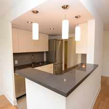
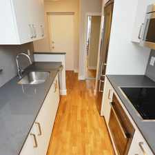
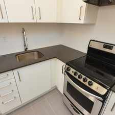
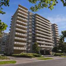
Burnaby Boulevard
Daily errands do not require a car.
Transit is convenient for most trips.
Flat as a pancake, excellent bike lanes.
About your score
Burnaby Boulevard has a Walk Score of 90 out of 100. This location is a Walker’s Paradise so daily errands do not require a car.
Burnaby Boulevard is a 14 minute walk from the 1 LINE 1 (YONGE-UNIVERSITY) at the EGLINTON STATION - SOUTHBOUND PLATFORM stop.
This location is in the Lawrence Park South neighborhood in Toronto. Nearby parks include Lytton Park, Castlefield Parkette and Oriole Park.
Explore how far you can travel by car, bus, bike and foot from Burnaby Boulevard.
Burnaby Boulevard has excellent transit which means transit is convenient for most trips. Car sharing is available from Zipcar.
Rail lines:
1 LINE 1 (YONGE-UNIVERSITY)
0.9 km
512 ST CLAIR
2.2 km
Bus lines:
332 EGLINTON WEST
0.1 km
32 EGLINTON WEST
0.1 km
142 DOWNTOWN/AVENUE RD EXPRESS
0.1 km
61 AVENUE ROAD NORTH
0.1 km
5 AVENUE RD
0.3 km
312 ST CLAIR-JUNCTION NIGHT BUS
2.2 km
Car shares:
Burnaby Boulevard is in the Lawrence Park South neighborhood. Lawrence Park South is the 63rd most walkable neighborhood in Toronto with a neighborhood Walk Score of 72.


If you are using a screen reader or having trouble reading this website, please call Walk Score customer service at (253) 256-1634.
© 2024 Walk Score