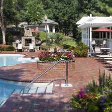
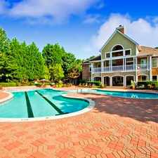
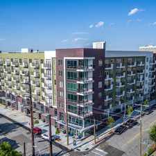
Oakdale Farm Way
Almost all errands require a car.
A few nearby public transportation options.
Mostly flat, minimal bike lanes.
About your score
Oakdale Farm Way has a Walk Score of 5 out of 100. This location is a Car-Dependent neighborhood so almost all errands require a car.
This location is in Raleigh. Nearby parks include Soccer Park, Buck Jones Open Space and Walnut Park, Cary, NC.
Explore how far you can travel by car, bus, bike and foot from Oakdale Farm Way.
Oakdale Farm Way has some transit which means a few nearby public transportation options.
Bus lines:
6 CTRAN - Buck Jones Road
0.6 mi
11L Buck Jones Connector
0.7 mi
301 Raleigh-Cary-RTC
0.8 mi
2 CTRAN - Maynard Rd (Counter-Clockwise)
0.8 mi
1 CTRAN - Maynard Road (Clockwise)
0.8 mi
Oakdale Farm Way compared to all of Raleigh.
Lower crime area.
Lower crime area.
How do you feel walking near Oakdale Farm Way?
Day:
Night:
Thanks for your feedback!
This location is in the city of Raleigh, NC. Raleigh has an average Walk Score of 30 and has 403,892 residents.

Pour House The
Anthony's Touch of Italy
Pottersville Park


If you are using a screen reader or having trouble reading this website, please call Walk Score customer service at (253) 256-1634.
© 2024 Walk Score