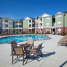
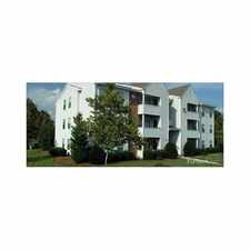
Hampton Roads Beltway
Chesapeake, Virginia, 23320
Commute to Downtown Chesapeake
Most errands require a car.
It is possible to get on a bus.
About your score
Hampton Roads Beltway has a Walk Score of 31 out of 100. This location is a Car-Dependent neighborhood so most errands require a car.
This location is in Chesapeake.
Explore how far you can travel by car, bus, bike and foot from Hampton Roads Beltway.
Hampton Roads Beltway has minimal transit which means it is possible to get on a bus.
Bus lines:
15 MILITARY HWY
0.7 mi
922 MAX GREENBRIAR/INDIAN RIVER/NAVAL STATION NORFOLK
0.7 mi
967 MAX VIRGINIA BEACH-NEWPORT NEWS EXPRESS
0.8 mi
6 SOUTH NORFOLK
1.0 mi
13 CAMPOSTELLA
1.0 mi
58 BAINBRIDGE BLVD
1.0 mi
57 DEEP CREEK
1.0 mi
14 BATTLEFIELD BLVD
1.0 mi
This location is in the city of Chesapeake, VA. Chesapeake has an average Walk Score of 21 and has 222,209 residents.
Learn More About Chesapeake


If you are using a screen reader or having trouble reading this website, please call Walk Score customer service at (253) 256-1634.
© 2024 Walk Score