
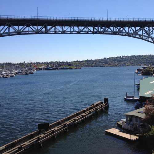
S Ship Canal Trail
Most errands can be accomplished on foot.
Many nearby public transportation options.
Biking is convenient for most trips.

S Ship Canal Trail has a Walk Score of 82 out of 100. This location is Very Walkable so most errands can be accomplished on foot.
This location is in Seattle. Nearby parks include A. B. Ernst Park, David Rodgers Park and Fremont Canal Park.
Explore how far you can travel by car, bus, bike and foot from S Ship Canal Trail.
S Ship Canal Trail has good transit which means many nearby public transportation options.
Bus lines:
32
0.1 mi
31
0.1 mi
40
0.2 mi
62
0.2 mi
5
0.3 mi
28
0.3 mi
13
0.4 mi
4
0.4 mi
This location is in the city of Seattle, WA. Seattle has an average Walk Score of 74 and has 608,660 residents.

Olympic Sculpture Park
Cal Anderson Park
Capitol Hill
If you are using a screen reader or having trouble reading this website, please call Walk Score customer service at (253) 256-1634.
© 2026 Walk Score

David A.