
3 Eagle Street
Daily errands do not require a car.
World-class public transportation.

3 Eagle Street has a Walk Score of 98 out of 100. This location is a Walker’s Paradise so daily errands do not require a car.
This location is in the Brisbane City neighborhood in Brisbane. Nearby parks include Saint Stephens Cathedral Grounds, James Mooney Place and Post Office Square.

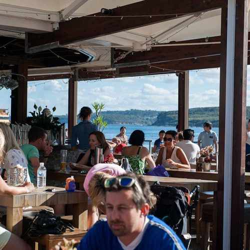
Schnapps shots on a skis, delicious beer and brats.. This place rocks for a fun evening out with friends! #patiobar #german Photo: Bavarian Bier Cafe Facebook
Explore how far you can travel by car, bus, bike and foot from 3 Eagle Street.
3 Eagle Street is a Rider’s Paradise which means world-class public transportation.
Rail lines:
FGBR Ferny Grove line - Brisbane City
0.6 km
BDBR Airport line - Brisbane City
0.6 km
DBBR Doomben line - Brisbane City
0.6 km
FGBN Ferny Grove line - Beenleigh line
0.6 km
SHBR Shorncliffe line - Brisbane City
0.6 km
BRBN Brisbane City - Beenleigh line
0.6 km
BRVL Brisbane City - Varsity Lakes line
0.6 km
BDVL Airport line - Varsity Lakes line
0.6 km
SPRP Springfield line - Redcliffe Peninsula Line
0.6 km
VLBR Varsity Lakes line - Brisbane City
0.6 km
Bus lines:
N339 Valley - Bracken Ridge NightLink via Chermside
0.0 km
136 Parkinson - City Precincts
0.0 km
N184 Valley - Garden City NightLink via Cavendish Road
0.0 km
N154 City/Valley - Browns Plains NightLink
0.0 km
N111 Valley - Eight Mile Plains NightLink
0.0 km
N250 Fortitude Valley - Victoria Pt
0.0 km
P207 Carina - City Pre-Paid Rocket
0.0 km
N199 West End - Teneriffe Ferry NightLink
0.0 km
N345 Aspley - Valley NightLink
0.0 km
N200 Valley - Carindale Heights NightLink
0.0 km
3 Eagle Street is in the Brisbane City neighborhood. Brisbane City is the most walkable neighborhood in Brisbane with a neighborhood Walk Score of 95.
If you are using a screen reader or having trouble reading this website, please call Walk Score customer service at (253) 256-1634.
© 2026 Walk Score
Kelley B.