
12526 Cedar Road
Cleveland Heights, Ohio, 44106
Commute to Downtown Cleveland Heights
Some errands can be accomplished on foot.
A few nearby public transportation options.
Some bike infrastructure.

12526 Cedar Road has a Walk Score of 63 out of 100. This location is Somewhat Walkable so some errands can be accomplished on foot.
12526 Cedar Road is a 17 minute walk from the Red Line Heavy Rail at the CEDAR-UNIVERSITY STATION stop.
This location is in Cleveland Heights. Nearby parks include Ambler Heights Historic District, Fairhill Road Village Historic District and Fairmount Boulevard Historic District.

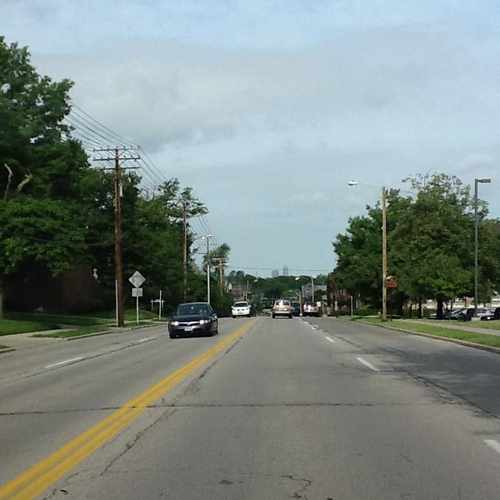
View from Cedar road of the Cleveland skyline. On a clear day you can see downtown all the way from Beachwood on Cedar rd. It's one of the reasons this area is called "The Heghts"
Explore how far you can travel by car, bus, bike and foot from 12526 Cedar Road.
12526 Cedar Road has some transit which means a few nearby public transportation options.
Rail lines:
Red Line Heavy Rail
0.8 mi
Blue/Green/Waterfront Line Light Rail
1.2 mi
Bus lines:
11 Quincy - Cedar
0.0 mi
9 Mayfield - Hough
0.6 mi
48 East 131
0.6 mi
This location is in the city of Cleveland Heights, OH. Cleveland Heights has an average Walk Score of 53 and has 46,121 residents.

Church Of The Savior Cleveland Heights, Ohio
Mornington Lane
Cain Park
If you are using a screen reader or having trouble reading this website, please call Walk Score customer service at (253) 256-1634.
© 2026 Walk Score
Barb White