
179 Wayland Avenue
Wayland, Providence, 02906
Commute to Downtown Providence
Daily errands do not require a car.
A few nearby public transportation options.
Biking is convenient for most trips.

179 Wayland Avenue has a Walk Score of 91 out of 100. This location is a Walker’s Paradise so daily errands do not require a car.
This location is in the Wayland neighborhood in Providence. Nearby parks include Gladys Potter Garden, Hope-Power-Cooke Streets Historic District and Stimson Avenue Historic District.

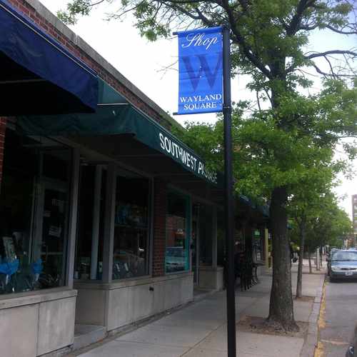
Wayland square in providence , great place to shop with friend and family
Explore how far you can travel by car, bus, bike and foot from 179 Wayland Avenue.
179 Wayland Avenue has some transit which means a few nearby public transportation options.
Rail lines:
Providence/Stoughton Line
1.3 mi
Foxboro Event Service
1.3 mi
Bus lines:
40 Butler/Elmgrove
0.0 mi
40 PROVIDENCE TO BUTLER HOSPITAL
0.0 mi
33 Riverside
0.0 mi
34 East-Providence/Seekonk-Sq.
0.0 mi
61X Tiverton/East Bay Express
0.0 mi
32 East Providence/Wampanoag Trail
0.0 mi
92 East Side/Federal Hill/RI College
0.2 mi
179 Wayland Avenue is in the Wayland neighborhood. Wayland is the 4th most walkable neighborhood in Providence with a neighborhood Walk Score of 86.
If you are using a screen reader or having trouble reading this website, please call Walk Score customer service at (253) 256-1634.
© 2026 Walk Score
Christopher Flanagan