
Wells Drive
Some errands can be accomplished on foot.
A few nearby public transportation options.
Some bike infrastructure.

Wells Drive has a Walk Score of 59 out of 100. This location is Somewhat Walkable so some errands can be accomplished on foot.
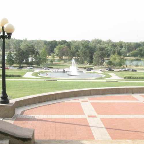
This location is in St. Louis. Nearby parks include Jewel Box, Forest Park and Forest Park Southeast.

Bigger then New York's Central Park plan on spending the day at one of the many areas in Forest Park like the Zoo, the Jewel Box, Art Museum, History Museum or play some golf or ball, ride a bike, row a boat or enjoy a meal indoors or outdoors at the Boat House...
Explore how far you can travel by car, bus, bike and foot from Wells Drive.
Wells Drive has some transit which means a few nearby public transportation options.
Rail lines:
MLR MetroLink Red Line
1.0 mi
MLB MetroLink Blue Line
1.0 mi
Bus lines:
90 Hampton
0.1 mi
59 Oakland
0.2 mi
This location is in the city of St. Louis, MO. St. Louis has an average Walk Score of 66 and has 319,294 residents.

Forest Park Southeast
St Louis Public Library - Cabanne Branch
Palomino Lounge
If you are using a screen reader or having trouble reading this website, please call Walk Score customer service at (253) 256-1634.
© 2026 Walk Score
Gabriele DeHart