
Troy Lee James Highway
Commute to Downtown Cleveland
Most errands can be accomplished on foot.
A few nearby public transportation options.
Some bike infrastructure.

Troy Lee James Highway has a Walk Score of 77 out of 100. This location is Very Walkable so most errands can be accomplished on foot.
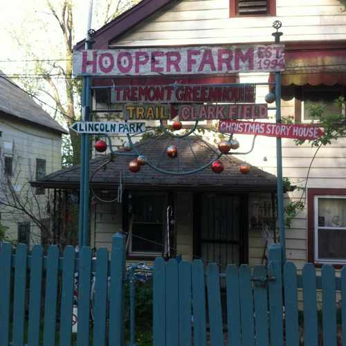
This location is in the Tremont neighborhood in Cleveland. Nearby parks include Tremont Dog Park, Lincoln Park and Lincoln Recreation Center (historical).

It overlooks Clark field, T.R.E.A.T.S dog park & steel mills.
Explore how far you can travel by car, bus, bike and foot from Troy Lee James Highway.
Troy Lee James Highway has some transit which means a few nearby public transportation options.
Rail lines:
Red Line Heavy Rail
1.1 mi
Blue/Green/Waterfront Line Light Rail
1.2 mi
Bus lines:
25 Madison - Clark
0.1 mi
18 West 98 - Garfield
0.6 mi
Troy Lee James Highway is in the Tremont neighborhood. Tremont is the 3rd most walkable neighborhood in Cleveland with a neighborhood Walk Score of 74.
Moving to Cleveland from another city? View our moving to Cleveland guide.
If you are using a screen reader or having trouble reading this website, please call Walk Score customer service at (253) 256-1634.
© 2026 Walk Score
Niquek