
Shoal Creek Trail
Daily errands do not require a car.
Many nearby public transportation options.
Biking is convenient for most trips.

Shoal Creek Trail has a Walk Score of 97 out of 100. This location is a Walker’s Paradise so daily errands do not require a car.
Shoal Creek Trail is a 18 minute walk from the 550 550-Metro Rail Red Line at the Downtown Station stop.
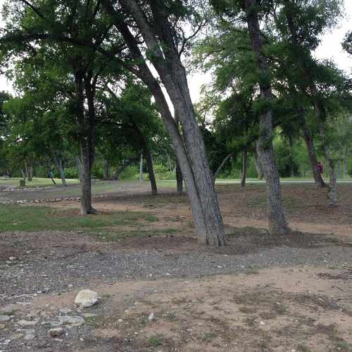
This location is in Austin. Nearby parks include Duncan Park, Republic Square Park and Wooldridge Square.

Pease Park has great trails for walking and running, and also provides a great place to picnic on a warm summer day!
Explore how far you can travel by car, bus, bike and foot from Shoal Creek Trail.
Shoal Creek Trail has good transit which means many nearby public transportation options.
Rail lines:
550 550-Metro Rail Red Line
0.9 mi
Bus lines:
103 103-Manchaca Flyer
0.0 mi
980 980-North Mopac Express
0.0 mi
484 484-Night Owl South Lamar
0.0 mi
4 4-7th Street
0.0 mi
985 985-Leander/Lakeline Direct
0.0 mi
5 5-Woodrow/Lamar
0.0 mi
663 663-Lake Austin/UT
0.2 mi
982 982-Pavilion Express
0.2 mi
3 3-Burnet/Manchaca
0.2 mi
171 171-Oak Hill Flyer
0.2 mi
This location is in the city of Austin, TX. Austin has an average Walk Score of 42 and has 790,390 residents.

Go Greene Automotive
Electric Plant
Littlefield Fountain
If you are using a screen reader or having trouble reading this website, please call Walk Score customer service at (253) 256-1634.
© 2026 Walk Score
Lauren