
Merilees Trail
Vancouver, British Columbia, V6G 3E2
Commute to Downtown Vancouver
Almost all errands require a car.
It is possible to get on a bus.
Minimal bike infrastructure.

Merilees Trail has a Walk Score of 17 out of 100. This location is a Car-Dependent neighborhood so almost all errands require a car.
This location is in Vancouver. Nearby parks include Siwash Rock, Stanley Park and Stanley Park.

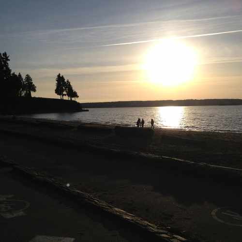
Third beach in Stanley Park, one of the most beautiful beaches in Vancouver
Explore how far you can travel by car, bus, bike and foot from Merilees Trail.
This location is in the city of Vancouver, BC. Vancouver has an average Walk Score of 80 and has 603,502 residents.

Robson Square
Yaletown
Tap & Barrel
If you are using a screen reader or having trouble reading this website, please call Walk Score customer service at (253) 256-1634.
© 2026 Walk Score
Leo Chrenko