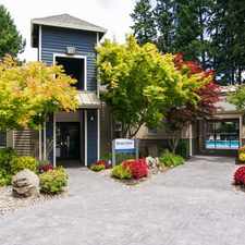
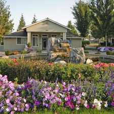
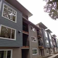
16950 Southwest Richen Park Circle
Sherwood, Oregon, 97140
Commute to Downtown Sherwood
16950 Southwest Richen Park Circle has a Walk Score of 10 out of 100. This location is a Car-Dependent neighborhood so almost all errands require a car.
This location is in Sherwood. Nearby parks include Sunset City Park, Woodhaven City Park and Stella Olsen City Park.
Explore how far you can travel by car, bus, bike and foot from 16950 Southwest Richen Park Circle.
Bus lines:
94 Pacific Hwy/Sherwood
0.6 mi
93 Tigard/Sherwood
0.6 mi
97 Tualatin-Sherwood Rd
1.1 mi
Car shares:
This location is in the city of Sherwood, OR. Sherwood has an average Walk Score of 34 and has 18,194 residents.
Learn More About Sherwood


If you are using a screen reader or having trouble reading this website, please call Walk Score customer service at (253) 256-1634.
© 2024 Walk Score