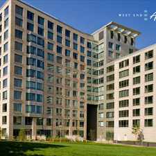
173 Princeton Street
Most errands can be accomplished on foot.
Many nearby public transportation options.
Flat as a pancake, excellent bike lanes.
Score Details
173 Princeton Street has a Walk Score of 89 out of 100. This location is Very Walkable so most errands can be accomplished on foot.
173 Princeton Street is a seven minute walk from the Blue Line at the Airport Station - Outbound stop.
This location is in the East Boston neighborhood in Boston. Nearby parks include Central Square, Decatur And Meridien Park and Eagle Square.
Explore how far you can travel by car, bus, bike and foot from 173 Princeton Street.
173 Princeton Street has good transit which means many nearby public transportation options. Car sharing is available from RelayRides, Zipcar and Hertz On Demand.
Rail lines:
Blue Line
0.3 mi
Newburyport/Rockport Line
1.2 mi
Bus lines:
121
0.1 mi
120
0.1 mi
112
0.3 mi
Shuttle Massport Subway Shuttle (22)
0.3 mi
Shuttle Massport Subway Shuttle (55)
0.3 mi
Shuttle Massport Subway Shuttle (33)
0.3 mi
Shuttle Massport Ferry Terminal Shuttle (44)
0.3 mi
Shuttle Massport Subway / Ferry Terminal Shuttle (66)
0.3 mi
171
0.3 mi
114
0.3 mi
Car shares:
Bike shares:
173 Princeton Street is in the East Boston neighborhood. East Boston is the 16th most walkable neighborhood in Boston with a neighborhood Walk Score of 81.
Moving to Boston from another city? View our moving to Boston guide.

East Boston Library
Maverick Station
Stonybrook Fine Arts


If you are using a screen reader or having trouble reading this website, please call Walk Score customer service at (253) 256-1634.
© 2024 Walk Score