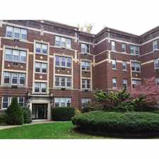
189 Springfield Road
Westfield, Massachusetts, 01085
Commute to Downtown West Springfield Town
189 Springfield Road has a Walk Score of 30 out of 100. This location is a Car-Dependent neighborhood so most errands require a car.
This location is in Westfield. Nearby parks include Robinson State Park, Westfield Properties and Devon Manor Conservation Area.
Explore how far you can travel by car, bus, bike and foot from 189 Springfield Road.
Bus lines:
R10 Westfield State University / West Springfield
0.0 mi
This location is in the city of Westfield, MA. Westfield has an average Walk Score of 28 and has 41,094 residents.
Learn More About Westfield


If you are using a screen reader or having trouble reading this website, please call Walk Score customer service at (253) 256-1634.
© 2024 Walk Score