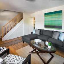
26 Hopedale Street
Most errands require a car.
A few nearby public transportation options.
Score Details
26 Hopedale Street has a Walk Score of 35 out of 100. This location is a Car-Dependent neighborhood so most errands require a car.
This location is in Quincy. Nearby parks include Shea Park, Furnace Brook Parkway and Furnace Brook Parkway.
Nearby schools include Jack N Jill Kindergarten & Child Care Center, Reay E Sterling Middle School and St Mary School.
The closest grocery stores are BJ's, Mignosa's Fruit Basket and General Foods & Baking Products.
Nearby coffee shops include Marylou's Coffee, Granite Street Cafe and Dunkin' Donuts. Nearby restaurants include Copeland Street Sub & Pizza, Quincy Wok and Dragon Palace quincy.
26 Hopedale Street is near Furnace Brook Parkway, Shea Park and Furnace Brook Parkway.
Explore how far you can travel by car, bus, bike and foot from 26 Hopedale Street.
26 Hopedale Street has some transit which means a few nearby public transportation options. Car sharing is available from Zipcar and RelayRides.
Rail lines:
Red Line
1.1 mi
Kingston/Plymouth Line
1.2 mi
Middleborough/Lakeville Line
1.2 mi
Greenbush Line
1.2 mi
Bus lines:
238
0.1 mi
215
0.1 mi
Car shares:
This location is in the city of Quincy, MA. Quincy has an average Walk Score of 57 and has 92,271 residents.

Wollaston Beach Reservation
Wollaston School
Quincy Shore Reservation


If you are using a screen reader or having trouble reading this website, please call Walk Score customer service at (253) 256-1634.
© 2024 Walk Score