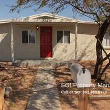
3720 East Laurel Lane
Most errands require a car.
A few nearby public transportation options.
Flat as a pancake, good bike lanes.
Score Details
3720 East Laurel Lane has a Walk Score of 27 out of 100. This location is a Car-Dependent neighborhood so most errands require a car.
This location is in the Paradise Valley neighborhood in Phoenix. Nearby parks include Altadena Park, Altadena Park and Roadrunner Park.
Nearby schools include Roadrunner School, Desert Voices Oral Learning Center and Village Vista Elementary School.
The closest grocery stores are Hearthside Food Solutions, Costco and Bashas'.
Nearby coffee shops include The Oink Cafe, Starbucks and Dunkin' Donuts. Nearby restaurants include Golden Bowl Chinese Food, Mr Cooks and Church's Chicken.
3720 East Laurel Lane is near Altadena Park, Roadrunner Park and Cholla Cove Park.
There are good bike lanes and the terrain is flat as a pancake. 3720 East Laurel Lane is bikeable, there is some bike infrastructure.
Explore how far you can travel by car, bus, bike and foot from 3720 East Laurel Lane.
3720 East Laurel Lane has some transit which means a few nearby public transportation options.
Bus lines:
106 Peoria/Cactus
0.1 mi
16 16th Street
0.7 mi
138 Thunderbird
0.7 mi
3720 East Laurel Lane is in the Paradise Valley neighborhood. Paradise Valley is the 7th most walkable neighborhood in Phoenix with a neighborhood Walk Score of 36.
Moving to Phoenix from another city? View our moving to Phoenix guide.

Sereno Park
The Westin Kierland Resort & Spa
RA Sushi Bar Restaurant


If you are using a screen reader or having trouble reading this website, please call Walk Score customer service at (253) 256-1634.
© 2024 Walk Score