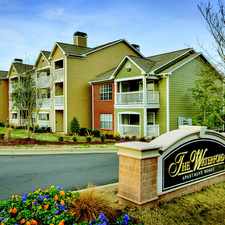
548 Calderbank Way
Almost all errands require a car.
It is possible to get on a bus.
.

548 Calderbank Way has a Walk Score of 11 out of 100. This location is a Car-Dependent neighborhood so almost all errands require a car.
This location is in the Preston neighborhood in Cary. Nearby parks include Morrisville Commerce Park and Bond Park.
Explore how far you can travel by car, bus, bike and foot from 548 Calderbank Way.
548 Calderbank Way is in the Preston neighborhood. Preston is the 5th most walkable neighborhood in Cary with a neighborhood Walk Score of 19.


If you are using a screen reader or having trouble reading this website, please call Walk Score customer service at (253) 256-1634.
© 2024 Walk Score