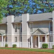
6110 Santa Fe Parkway
Almost all errands require a car.
Score Details
6110 Santa Fe Parkway has a Walk Score of 9 out of 100. This location is a Car-Dependent neighborhood so almost all errands require a car.
This location is in Sandy Springs.
Explore how far you can travel by car, bus, bike and foot from 6110 Santa Fe Parkway.
Rail lines:
RED RED-North South North Springs Line
1.5 mi
Bus lines:
87 Roswell Rd./Morgan Falls
0.3 mi
85 Roswell / Mansell Rd
1.5 mi
143 Windward Park / Ride
1.5 mi
140 North Point/Mansell P/R
1.5 mi
185 Alpharetta/Holcomb Bridge Rd
1.5 mi
Car shares:
This location is in the city of Sandy Springs, GA. Sandy Springs has an average Walk Score of 26 and has 93,853 residents.

Perk-N-Pooch
Courtyard Atlanta Perimeter Center
Blue Star Highway


If you are using a screen reader or having trouble reading this website, please call Walk Score customer service at (253) 256-1634.
© 2024 Walk Score