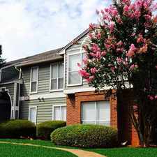
Fishers Farm Lane
Touchstone Village, Charlotte, 28277
Commute to Downtown Charlotte
Most errands require a car.
A few nearby public transportation options.
Flat as a pancake, minimal bike lanes.
About your score
Fishers Farm Lane has a Walk Score of 27 out of 100. This location is a Car-Dependent neighborhood so most errands require a car.
This location is in the Touchstone Village neighborhood in Charlotte. The closest park is Mcmullen Creek Greenway.
Explore how far you can travel by car, bus, bike and foot from Fishers Farm Lane.
Fishers Farm Lane has some transit which means a few nearby public transportation options.
Bus lines:
51 Pineville-Matthews Road
0.1 mi
43 Ballantyne
0.6 mi
45x Carmel Road Express
0.8 mi
View all Touchstone Village apartments on a map.

Fishers Farm Lane is in the Touchstone Village neighborhood. Touchstone Village is the 110th most walkable neighborhood in Charlotte with a neighborhood Walk Score of 20.
Moving to Charlotte from another city? View our moving to Charlotte guide.


If you are using a screen reader or having trouble reading this website, please call Walk Score customer service at (253) 256-1634.
© 2024 Walk Score