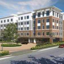
Sumner Street

Most errands can be accomplished on foot.

Many nearby public transportation options.

Flat as a pancake, some bike lanes.
Score Details
Sumner Street has a Walk Score of 89 out of 100. This location is Very Walkable so most errands can be accomplished on foot.
Sumner Street is an eight minute walk from the Fairmount Line and the Franklin Line at the Uphams Corner stop.
This location is in the North Dorchester neighborhood in Boston. Nearby parks include Columbia Road Park, Deer St. Park and Allen Park.
Explore how far you can travel by car, bus, bike and foot from Sumner Street.
Sumner Street has good transit which means many nearby public transportation options. Car sharing is available from Zipcar, RelayRides and Enterprise CarShare.
Rail lines:
Franklin Line
0.4 mi
Fairmount Line
0.4 mi
Red Line
0.5 mi
Greenbush Line
0.5 mi
Middleborough/Lakeville Line
0.5 mi
Kingston/Plymouth Line
0.5 mi
Bus lines:
16
0.1 mi
41
0.1 mi
17
0.1 mi
8
0.2 mi
15
0.2 mi
18
0.3 mi
Car shares:
Bike shares:
View all North Dorchester apartments on a map.

Popular apartment searches include single family and top floor.
Sumner Street is in the North Dorchester neighborhood. North Dorchester is the 19th most walkable neighborhood in Boston with a neighborhood Walk Score of 79.
Moving to Boston from another city? View our moving to Boston guide.
Navarrette Grocery
Outdoors
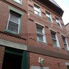
Statue Art Work



If you are using a screen reader or having trouble reading this website, please call Walk Score customer service at (253) 256-1634.
© 2026 Walk Score