Some errands can be accomplished on foot.
A few nearby public transportation options.
Score Details
This location has a Walk Score of 55 out of 100. This location is Somewhat Walkable so some errands can be accomplished on foot.
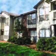
This location is in Chapel Hill. Nearby parks include Emily Braswell Perry Park, Jordan Lake and Battle Park.
Explore how far you can travel by car, bus, bike and foot from this location.
This location has some transit which means a few nearby public transportation options. Car sharing is available from Zipcar and RelayRides.
Bus lines:
G Booker Creek/Briarcliff via University Mall/UNC Hospitals
0.0 mi
FG Franklin St/University Mall/Colony Woods
0.0 mi
S South Campus/NC 54 East Park & Ride
0.0 mi
V Southern Village/Meadowmont
0.0 mi
Franklin St/Finley Forest/Meadowmont
0.0 mi
FCX Friday Center Express
0.0 mi
HU UNC Hospitals/54 Park-and-Ride/Hedrick Building
0.3 mi
Car shares:
This location is in the city of Chapel Hill, NC. Chapel Hill has an average Walk Score of 34 and has 57,233 residents.
Learn More About Chapel Hill


If you are using a screen reader or having trouble reading this website, please call Walk Score customer service at (253) 256-1634.
© 2024 Walk Score