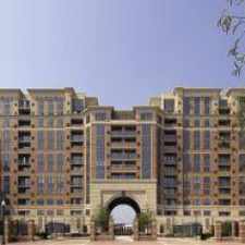
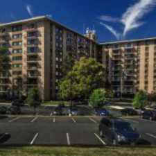
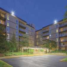
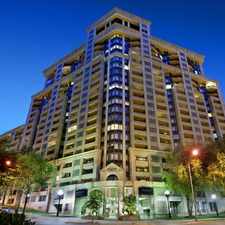
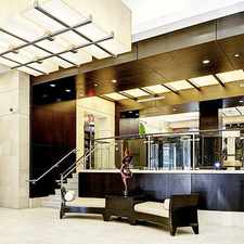
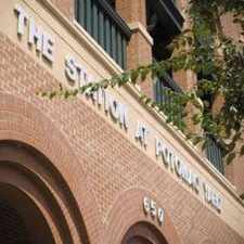
1111 Jefferson Davis Hwy
Some errands can be accomplished on foot.
Transit is convenient for most trips.
Flat as a pancake, excellent bike lanes.
Score Details
1111 Jefferson Davis Hwy has a Walk Score of 65 out of 100. This location is Somewhat Walkable so some errands can be accomplished on foot.
1111 Jefferson Davis Hwy is a seven minute walk from the Fredericksburg Line and the Manassas Line at the Crystal City stop.
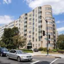
This location is in Arlington. Nearby parks include Roaches Run Waterfowl Sanctuary, Virginia Highlands Park and Navy and Marine Memorial.
Explore how far you can travel by car, bus, bike and foot from 1111 Jefferson Davis Hwy.
1111 Jefferson Davis Hwy has excellent transit which means transit is convenient for most trips. Car sharing is available from Zipcar, RelayRides and Hertz On Demand.
Rail lines:
Fredericksburg Line
0.3 mi
Manassas Line
0.3 mi
Blue Metrorail Blue Line
0.4 mi
Yellow Metrorail Yellow Line
0.4 mi
Bus lines:
9A
0.2 mi
7Y
0.2 mi
599 PENTAGON EXPRESS
0.3 mi
23B
0.3 mi
23A
0.3 mi
10R
0.3 mi
13Y
0.3 mi
42 Ballston-Pentagon
0.3 mi
87A Pentagon Metro-Army Navy Drive-Shirlington
0.3 mi
87 Pentagon Metro-Army Navy Drive-Shirlington
0.3 mi
Car shares:
Bike shares:
This location is in the city of Arlington, VA. Arlington has an average Walk Score of 67 and has 207,627 residents.

Arpanet Historical Sign
Glebe Market
Glebe Market
If you are using a screen reader or having trouble reading this website, please call Walk Score customer service at (253) 256-1634.
© 2024 Walk Score