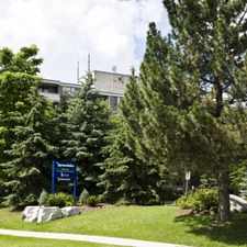
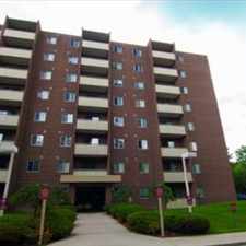
Royal Recreation Trail
Most errands can be accomplished on foot.
A few nearby public transportation options.
About your score
Royal Recreation Trail has a Walk Score of 71 out of 100. This location is Very Walkable so most errands can be accomplished on foot.
This location is in Guelph. Nearby parks include Rickson Park, Preservation Park and Oak Street Park.
Explore how far you can travel by car, bus, bike and foot from Royal Recreation Trail.
Royal Recreation Trail has some transit which means a few nearby public transportation options.
Bus lines:
1B Route1B-College Edinburgh
0.1 km
6 Route6-Harvard Ironwood
0.2 km
1A Route1A-College Edinburgh
0.2 km
2B Route2B-West Loop Counter Clockwise
0.5 km
15 Route15-College Ave W
0.6 km
2A Route2A-West Loop Clockwise
0.6 km
This location is in the city of Guelph, ON. Guelph has an average Walk Score of 47 and has 121,688 residents.
Learn More About Guelph


If you are using a screen reader or having trouble reading this website, please call Walk Score customer service at (253) 256-1634.
© 2024 Walk Score