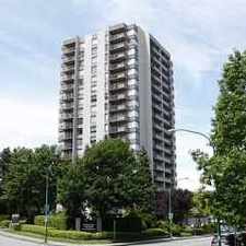
Surrey, British Columbia, V3T 1B8
Commute to Downtown New Westminster
Some errands can be accomplished on foot.
Transit is convenient for most trips.
Flat as a pancake, some bike lanes.
About your score
This location has a Walk Score of 58 out of 100. This location is Somewhat Walkable so some errands can be accomplished on foot.
This location is a 18 minute walk from the 992 EXPO SKYTRAIN at the KING GEORGE STATION PLATFORM 2 stop.
This location is in Surrey. Nearby parks include Holland Park, Betty Huff Park and William Beagle Park.
Explore how far you can travel by car, bus, bike and foot from this location.
This location has excellent transit which means transit is convenient for most trips.
Rail lines:
992 EXPO SKYTRAIN
1.1 km
Bus lines:
324 NEWTON EXCH/SURREY CENTRAL STN
0.2 km
329 SURREY CENTRAL STN/SCOTTSDALE
0.4 km
314 SURREY CENTRAL/SUNBURY
0.4 km
316 SURREY CENTRAL STN/SCOTTSDALE
0.5 km
393 NEWTON EXCH/SURREY CENTRAL STN
0.6 km
323 NEWTON EXCH/SURREY CENTRAL STN
0.6 km
This location is in the city of Surrey, BC. Surrey has an average Walk Score of 51 and has 468,251 residents.

Crescent Beach
Southridge School
Thrifty Foods


If you are using a screen reader or having trouble reading this website, please call Walk Score customer service at (253) 256-1634.
© 2024 Walk Score