Some errands can be accomplished on foot.
A few nearby public transportation options.
Mostly flat, some bike lanes.
About your score
This location has a Walk Score of 57 out of 100. This location is Somewhat Walkable so some errands can be accomplished on foot.
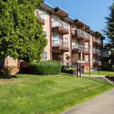
This location is in Surrey. Nearby parks include Betty Huff Park, William Beagle Park and Royal Kwantlen Park.
Explore how far you can travel by car, bus, bike and foot from this location.
This location has some transit which means a few nearby public transportation options.
Rail lines:
999 EXPO SKYTRAIN
1.8 km
Bus lines:
393 NEWTON EXCH/SURREY CENTRAL STN
0.1 km
323 NEWTON EXCH/SURREY CENTRAL STN
0.1 km
316 SURREY CENTRAL STN/SCOTTSDALE
0.3 km
329 SURREY CENTRAL STN/SCOTTSDALE
0.5 km
314 SURREY CENTRAL/SUNBURY
0.5 km
This location is in the city of Surrey, BC. Surrey has an average Walk Score of 51 and has 468,251 residents.

Crescent Beach
Southridge School
Thrifty Foods


If you are using a screen reader or having trouble reading this website, please call Walk Score customer service at (253) 256-1634.
© 2024 Walk Score