


Search for apartments in Oakland or check out apartments in other Oakland neighborhoods. Links will open on our partner site Redfin.com.
- Bay Farm Island, Oakland apartments for rent
- Claremont, Oakland apartments for rent
- Claremont Elmwood, Oakland apartments for rent
- Crocker Highlands, Oakland apartments for rent
- Eastmont Hills, Oakland apartments for rent
- Glenview, Oakland apartments for rent
- Maxwell Park, Oakland apartments for rent
- Montclair, Oakland apartments for rent
- North Berkeley, Oakland apartments for rent
- North Oakland, Oakland apartments for rent
- Oakmore, Oakland apartments for rent
- Redwood Heights, Oakland apartments for rent
- Rockridge, Oakland apartments for rent
- Sequoyah, Oakland apartments for rent
- South Berkeley, Oakland apartments for rent
- Temescal, Oakland apartments for rent
- Trestle Glen, Oakland apartments for rent
- Upper Rockridge, Oakland apartments for rent
- West Berkeley, Oakland apartments for rent
- West Oakland, Oakland apartments for rent


 This farmers market is hosted by Phat Beets. Although small, the produce is great and plentiful. The restaurant is also open, so grab some food, enjoy the weather and your produce all in one go! #paradisepark


 Board the “Floating White House,” an old U.S. Navy vessel that also served as President Roosevelt’s yacht. Take a tour of the bay and learn about the history of the city. #musuem #historicplace Photo: USS Potomac
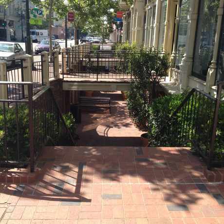
 Trees and greenery lining the streets makes for beautiful walks. #santafe


Sean Delizo
on Fairyland