
415 Shields Street
San Francisco, California, 94132
Commute to Downtown Broadmoor
Most errands can be accomplished on foot.
Transit is convenient for most trips.
Minimal bike infrastructure.

415 Shields Street has a Walk Score of 78 out of 100. This location is Very Walkable so most errands can be accomplished on foot.
415 Shields Street is a six minute walk from the M OCEAN VIEW at the Randolph St & Arch St stop.
This location is in San Francisco. Nearby parks include Brooks Park, Merced Heights Playground and Ocean View Playground.

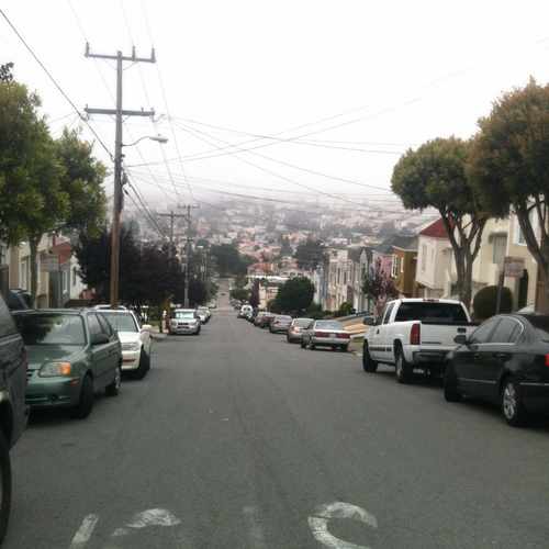
View from Merced heights looking toward Ingleside. #MercedHeights
Explore how far you can travel by car, bus, bike and foot from 415 Shields Street.
415 Shields Street has excellent transit which means transit is convenient for most trips.
Rail lines:
M OCEAN VIEW
0.2 mi
KT INGLESIDE-THIRD
0.6 mi
K INGLESIDE
0.6 mi
Bus lines:
29 SUNSET
0.1 mi
28 19TH AVENUE
0.4 mi
57 PARKMERCED
0.4 mi
58 LAKE MERCED
0.4 mi
91 3RD-19TH AVE OWL
0.6 mi
KBUS INGLESIDE BUS
0.6 mi
This location is in the city of San Francisco, CA. San Francisco has an average Walk Score of 89 and has 805,235 residents.

Sutro Baths
Presidio San Francisco
39 Pier 39 Concourse
If you are using a screen reader or having trouble reading this website, please call Walk Score customer service at (253) 256-1634.
© 2026 Walk Score
Cameron Walter