

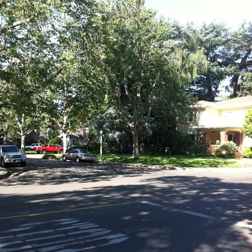
Cemetery Road
East Sacramento, Sacramento, 95819
Commute to Downtown Sacramento

Some errands can be accomplished on foot.

A few nearby public transportation options.

Biking is convenient for most trips.

Cemetery Road has a Walk Score of 67 out of 100. This location is Somewhat Walkable so some errands can be accomplished on foot.
Cemetery Road is a five minute walk from the Gold Downtown - Folsom at the 48th Street Station (WB) stop.
This location is in the East Sacramento neighborhood in Sacramento. Nearby parks include East Lawn Childrens Park, Coloma Park and Sunset Park.
Explore how far you can travel by car, bus, bike and foot from Cemetery Road.
Cemetery Road has some transit which means a few nearby public transportation options.
Rail lines:
Gold Downtown - Folsom
0.2 mi
Bus lines:
214 BROADWAY - STOCKTON BLVD
0.2 mi
213 FRUITRIDGE RD - STOCKTON BLVD
0.2 mi
215 14TH AVE - FLORIN TOWNE
0.2 mi
212 14TH AVE - 21ST AVE
0.2 mi
30 J STREET
0.5 mi
138 CAUSEWAY CONNECTION
0.6 mi
38 TAHOE PARK
0.6 mi
138 Causeway Connection
0.6 mi
Cemetery Road is in the East Sacramento neighborhood. East Sacramento is the 10th most walkable neighborhood in Sacramento with a neighborhood Walk Score of 72.
Moving to Sacramento from another city? View our moving to Sacramento guide.
If you are using a screen reader or having trouble reading this website, please call Walk Score customer service at (253) 256-1634.
© 2026 Walk Score

Richard B Sharke