
Highland Park Reservoir Path
Highland Park, Pittsburgh, 15206
Commute to Downtown Aspinwall
Almost all errands require a car.
A few nearby public transportation options.
Minimal bike infrastructure.

Highland Park Reservoir Path has a Walk Score of 21 out of 100. This location is a Car-Dependent neighborhood so almost all errands require a car.
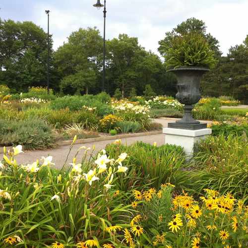
This location is in the Highland Park neighborhood in Pittsburgh. Nearby parks include Highland Park Super Playground, Highland Park and Paulson Playground.
Explore how far you can travel by car, bus, bike and foot from Highland Park Reservoir Path.
Highland Park Reservoir Path has some transit which means a few nearby public transportation options.
Bus lines:
71B HIGHLAND PARK
0.4 mi
71A NEGLEY SHORT
0.4 mi
75 ELLSWORTH
0.5 mi
87 FRIENDSHIP
0.5 mi
P10 ALLEGHENY VALLEY FLYER
0.6 mi
Highland Park Reservoir Path is in the Highland Park neighborhood. Highland Park is the 36th most walkable neighborhood in Pittsburgh with a neighborhood Walk Score of 61.
If you are using a screen reader or having trouble reading this website, please call Walk Score customer service at (253) 256-1634.
© 2026 Walk Score

Christa Ross