
Marymoor Connector Trail
Southeast Redmond, Redmond, 98052
Commute to Downtown Redmond
Most errands require a car.
Biking is convenient for most trips.

Marymoor Connector Trail has a Walk Score of 33 out of 100. This location is a Car-Dependent neighborhood so most errands require a car.
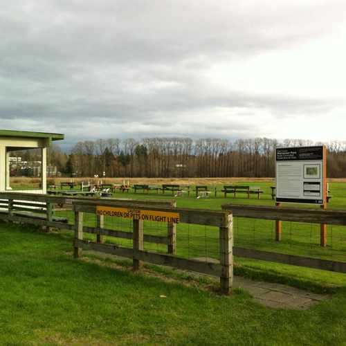
This location is in the Southeast Redmond neighborhood in Redmond. Nearby parks include Edward B. Sand Memorial Airfield, Marymoor Park and Marymoor Off-leash Dog Park.
Explore how far you can travel by car, bus, bike and foot from Marymoor Connector Trail.
Bus lines:
269
0.4 mi
222
0.6 mi
930
0.6 mi
224
0.7 mi
250
0.7 mi
545
0.7 mi
223
0.7 mi
B Line
0.7 mi
Marymoor Connector Trail is in the Southeast Redmond neighborhood. Southeast Redmond is the 3rd most walkable neighborhood in Redmond with a neighborhood Walk Score of 33.
If you are using a screen reader or having trouble reading this website, please call Walk Score customer service at (253) 256-1634.
© 2026 Walk Score


David A.