
492 9th Street
Daily errands do not require a car.
Transit is convenient for most trips.
Biking is convenient for most trips.

492 9th Street has a Walk Score of 100 out of 100. This location is a Walker’s Paradise so daily errands do not require a car.
492 9th Street is a five minute walk from the Yellow-N San Francisco / Antioch at the 12th Street / Oakland City Center stop.
This location is in Oakland. Nearby parks include Jefferson Square Park, Franklin Square (historical) and Washington Square (historical).

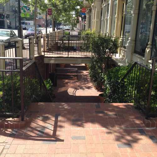
The streets of Old Oakland are wide and friendly with many individually owned shops outlining the walkway
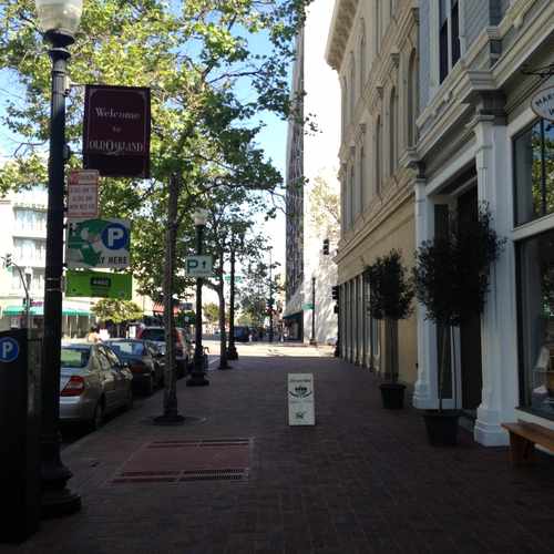
Some of the sidewalks are layered to allow for beautiful lighting and more shopping!

Emily Pankey
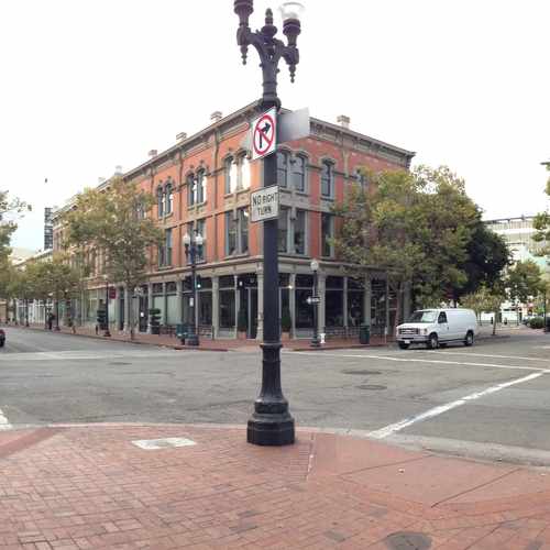
Historic commercial storefronts
Penny
Explore how far you can travel by car, bus, bike and foot from 492 9th Street.
492 9th Street has excellent transit which means transit is convenient for most trips.
Rail lines:
Red-S SF / SFO Airport / Millbrae
0.2 mi
Orange-S OAK Airport / Berryessa/North San Jose
0.2 mi
Yellow-N San Francisco / Antioch
0.2 mi
Yellow-S San Francisco International Airport
0.2 mi
Red-N SFO / SF / Richmond
0.2 mi
Orange-N OAK Airport / Richmond
0.2 mi
CC Capitol Corridor
0.6 mi
Blue-N SF / OAK Airport / Dublin/Pleasanton
0.6 mi
Green-N Berryessa/North San Jose
0.6 mi
Blue-S OAK Airport / SF / Daly City
0.6 mi
Bus lines:
BSN BROADWAY SHUTTLE NIGHT
0.0 mi
51A Broadway - Santa Clara
0.0 mi
BSD BROADWAY SHUTTLE DAY
0.0 mi
20 Dimond - Fruitvale - South Shore
0.0 mi
19 Buena Vista - Fruitvale
0.0 mi
851 College - Broadway All Nighter
0.0 mi
72 Hilltop - CCC - San Pablo
0.0 mi
18 Solano - Shattuck - MLK Jr.
0.0 mi
72M Macdonald - San Pablo
0.0 mi
12 MLK Jr. - Temescal - Grand
0.0 mi
This location is in the city of Oakland, CA. Oakland has an average Walk Score of 75 and has 390,724 residents.

Fitzgerald Park
Martin Luther King Super Stop
Martin Luther King, Junior Elementary School
If you are using a screen reader or having trouble reading this website, please call Walk Score customer service at (253) 256-1634.
© 2026 Walk Score
Emily Pankey