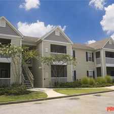
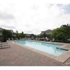
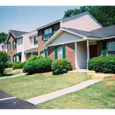
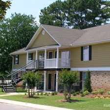
2890 Bethsaida Road
2890 Bethsaida Road has a Walk Score of 3 out of 100. This location is a Car-Dependent neighborhood so almost all errands require a car.
This location is in Atlanta.
Explore how far you can travel by car, bus, bike and foot from 2890 Bethsaida Road.
Bus lines:
189 Old National Hwy/Union Station
0.7 mi
89 Flat Shoals Road/Scofield Road
0.9 mi
This location is in the city of Atlanta, GA. Atlanta has an average Walk Score of 48 and has 420,003 residents.

Hand In Hand
Spire
Moe's & Joe's Bar & Grill


If you are using a screen reader or having trouble reading this website, please call Walk Score customer service at (253) 256-1634.
© 2024 Walk Score