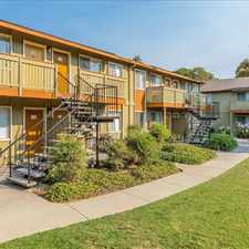
195 Hawaii Circle
Union City, California, 94587
Commute to Downtown Union City
195 Hawaii Circle has a Walk Score of 17 out of 100. This location is a Car-Dependent neighborhood so almost all errands require a car.
This location is in Union City. Nearby parks include Willaim Cann Memorial Park, Lowry Park and Beard Staging Area, Alameda Creek Regional Trail.
Explore how far you can travel by car, bus, bike and foot from 195 Hawaii Circle.
Bus lines:
97 Union City BART - Hesperian Blvd.
0.4 mi
210 Union Landing - Frmt. Blvd. - Ohlone
0.6 mi
232 Fremont BART-U.C. BART-Mission-Ohlone Newark
0.8 mi
Car shares:
This location is in the city of Union City, CA. Union City has an average Walk Score of 44 and has 69,516 residents.
Learn More About Union City

If you are using a screen reader or having trouble reading this website, please call Walk Score customer service at (253) 256-1634.
© 2024 Walk Score