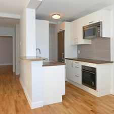
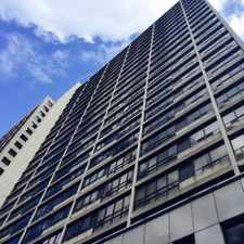
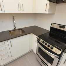
16 Blue Jays Way
Commute to Downtown Toronto
Daily errands do not require a car.
World-class public transportation.
Flat as a pancake, some bike lanes.
About your score
16 Blue Jays Way has a Walk Score of 99 out of 100. This location is a Walker’s Paradise so daily errands do not require a car.
16 Blue Jays Way is a three minute walk from the 317 SPADINA N.C. and the 510 SPADINA at the SPADINA AVE AT FRONT ST WEST NORTH SIDE stop.
This location is in the Waterfront Communities-The Island neighborhood in Toronto. Nearby parks include Clarence Square, Simcoe Park and Victoria Square Park.
Explore how far you can travel by car, bus, bike and foot from 16 Blue Jays Way.
16 Blue Jays Way is a Rider’s Paradise which means world-class public transportation. Car sharing is available from Zipcar.
Rail lines:
317 SPADINA N.C.
0.2 km
510 SPADINA
0.2 km
514 CHERRY
0.2 km
503 KINGSTON RD
0.2 km
504 KING
0.2 km
304 KING
0.2 km
Bus lines:
121 FORT YORK - ESPLANADE
0.1 km
143 DOWNTOWN/BEACH EXPRESS
0.4 km
145 DOWNTOWN/HUMBER BAY EXPRESS
0.4 km
141 DOWNTOWN/MT PLEASANT EXPRESS
0.4 km
144 DOWNTOWN/DON VALLEY EXPRESS
0.4 km
Car shares:
Bike shares:
16 Blue Jays Way is in the Waterfront Communities-The Island neighborhood. Waterfront Communities-The Island is the 11th most walkable neighborhood in Toronto with a neighborhood Walk Score of 92.

The Distillery
Petview
Sugar Beach


If you are using a screen reader or having trouble reading this website, please call Walk Score customer service at (253) 256-1634.
© 2024 Walk Score