


Chattanooga has an average Walk Score of 29 with 167,674 residents.
Chattanooga has minimal public transportation and does not have many bike lanes.
The most walkable Chattanooga neighborhoods are Cedar Hill, Brainerd and Clifton Hills.
Most errands require a car.


Ferger Place Neighborhood

Missionary Ridge
Most errands require a car in Chattanooga.
Rank # | Name | Walk Score | Transit Score | Bike Score |
|---|---|---|---|---|
| 1 | Cedar Hill | 51 | 22 | 48 |
| 2 | Brainerd | 45 | 28 | 31 |
| 3 | Clifton Hills | 26 | 19 | 48 |
| 4 | Woodmore-Dalewood | 25 | 23 | 32 |
| 5 | Bonny Oaks-Highway 58 | 25 | 10 | 23 |
| 6 | Hickory Valley-Hamilton Place | 22 | 11 | 26 |
| 7 | Lupton City-Norcross | 22 | 15 | 10 |
| 8 | St. Elmo | 19 | 18 | 34 |
| 9 | Friends of Mountain Creek | 16 | - | 17 |
| 10 | Tyner-Greenwood | 15 | 11 | 22 |
| 11 | Piney Woods | 12 | 25 | 30 |
| 12 | Northgate-Big Ridge | 10 | 2 | 10 |
There are about 688 restaurants, bars and coffee shops in Chattanooga.
People in Chattanooga can walk to an average of 0.6 restaurants, bars and coffee shops in 5 minutes.
Thinking of renting an apartment or buying in Chattanooga? Ask our neighborhood guides a question.

Minimal bike infrastructure.

Coolidge Park Carousel

Chattanooga National Cemetery

Hunter Museum of American Art

Thankful Memorial Episcopal Church

Amnicola Marsh North

Inner City Christian Academy

Tennessee Aquarium Conservation Institute

Hixson Pike
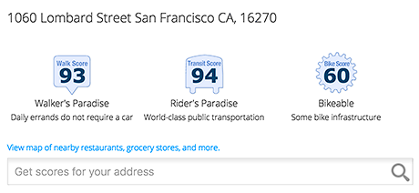
Add Walk Score, Bike Score, and Transit Score to your rental and for sale properties with the Walk Score Widget.

Build apps with Walk Score, public transit data, and commute and travel times via Walk Score APIs.

Use Walk Score data for real estate, public health, finance, and urban planning research and analysis.
If you are using a screen reader or having trouble reading this website, please call Walk Score customer service at (253) 256-1634.
© 2026 Walk Score


Chattanooga is Talking About...