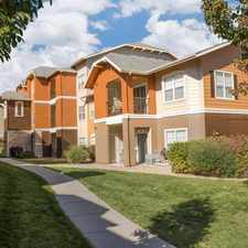
10117 Saint Paul Street
Most errands require a car.
Score Details
10117 Saint Paul Street has a Walk Score of 28 out of 100. This location is a Car-Dependent neighborhood so most errands require a car.
This location is in Thornton. Nearby parks include Sherwood Hills Park, Yorkborough Park and South Fox Run Park.
Nearby schools include York International School, York Middle School and Clayton Partnership School.
The closest grocery stores are Albertsons, mygofer and EnduraPet.
Nearby coffee shops include Starbucks and Starbucks. Nearby restaurants include 3 Margaritas, Blackjack Pizza and Mc Donald's.
10117 Saint Paul Street is near Sherwood Hills Park, Yorkborough Park and Colony Park.
Explore how far you can travel by car, bus, bike and foot from 10117 Saint Paul Street.
Bus lines:
92 92nd Avenue
0.1 mi
40X North Colorado Express
0.4 mi
AA Wagon Road / DIA
0.4 mi
Car shares:
View all Thornton apartments on a map.

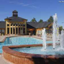
Popular apartment searches include pool, fireplace and fitness.
This location is in the city of Thornton, CO. Thornton has an average Walk Score of 30 and has 118,772 residents.
Learn More About Thornton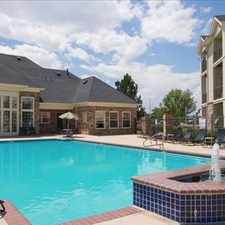


If you are using a screen reader or having trouble reading this website, please call Walk Score customer service at (253) 256-1634.
© 2025 Walk Score