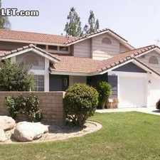
1035 S State St
California, San Jacinto, 92583
Commute to Downtown San Jacinto

1035 S State St has a Walk Score of 45 out of 100. This location is a Car-Dependent neighborhood so most errands require a car.
This location is in the California neighborhood in San Jacinto. Nearby parks include Valley Wide Regional Park, Hoffman Park and Salee Park.
Explore how far you can travel by car, bus, bike and foot from 1035 S State St.
Bus lines:
42 Hemet Valley Mall - San Jacinto - Soboba Casino
0.2 mi
31 Hemet - Beaumont - Moreno Valley
0.2 mi
217 San Jacinto-Escondido Exp.
0.3 mi
212 San Jacinto-Hemet-Riverside Express
0.3 mi
32 Hemet Valley Mall - Mount San Jacinto College
0.6 mi
1035 S State St is in the California neighborhood. California is the 3rd most walkable neighborhood in San Jacinto with a neighborhood Walk Score of 46.


If you are using a screen reader or having trouble reading this website, please call Walk Score customer service at (253) 256-1634.
© 2026 Walk Score