1110 Sherren Street West
Most errands require a car.
Score Details
1110 Sherren Street West has a Walk Score of 33 out of 100. This location is a Car-Dependent neighborhood so most errands require a car.
This location is in Roseville. Nearby parks include Lexington Park, Bruce Russell Park and Pocahontas Park.
Explore how far you can travel by car, bus, bike and foot from 1110 Sherren Street West.
Bus lines:
65 Dale St - Co Rd B - Rosedale
0.2 mi
83 HarMar Target - Lexington Av
0.2 mi
223 Rosedale - Little Canada - Maplewood
0.3 mi
227 Target Shoreview - Victoria - Rosedale
0.5 mi
261 Express - Shoreview - Roseville - Mpls
0.5 mi
272 Express - Maplewood - Roseville - U of M
0.5 mi
View all Roseville apartments on a map.

Popular apartment searches include fitness, fireplace and hardwood floor.
This location is in the city of Roseville, MN. Roseville has an average Walk Score of 30 and has 33,660 residents.
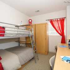
Rosedale Estates North
Rosedale Estates North
Rosedale Estates North


If you are using a screen reader or having trouble reading this website, please call Walk Score customer service at (253) 256-1634.
© 2025 Walk Score