
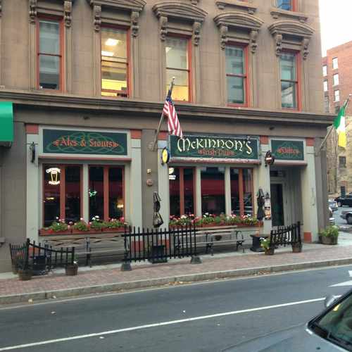
114 Asylum Street
Daily errands do not require a car.
Transit is convenient for most trips.
Some bike infrastructure.

114 Asylum Street has a Walk Score of 94 out of 100. This location is a Walker’s Paradise so daily errands do not require a car.
114 Asylum Street is a nine minute walk from the Hartford Line at the Hartford stop.
This location is in Hartford. Nearby parks include Pratt Street Historic District, Connecticut State House Green and Ann Street Historic District.
Explore how far you can travel by car, bus, bike and foot from 114 Asylum Street.
114 Asylum Street has excellent transit which means transit is convenient for most trips.
Rail lines:
Hartford Line
0.4 mi
Bus lines:
74 GRANBY ST
0.1 mi
928 SOUTHINGTON/CHESHIRE/WATERBURY
0.1 mi
66 FARMINGTON AVE-UCONN HEALTH
0.1 mi
72 ASYLUM AVE
0.1 mi
62 FARMINGTON AVE-NORTH MAIN ST
0.1 mi
128 HARTFORD/WESTFARMS/NEW BRITAIN
0.1 mi
64 FARMINGTON AVE-SOUTH MAIN ST
0.1 mi
DASH DASH
0.1 mi
125 HARTFORD/BERLIN TPKE
0.1 mi
CB COLUMBUS BLVD CONNECTOR
0.1 mi
This location is in the city of Hartford, CT. Hartford has an average Walk Score of 67 and has 124,775 residents.

Goodwin Park Golf Course
O Camelo Restaurant
Rice Heights Playground
If you are using a screen reader or having trouble reading this website, please call Walk Score customer service at (253) 256-1634.
© 2026 Walk Score

Eduardo Sanchez