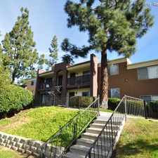
11963 Dapple Way
Almost all errands require a car.
It is possible to get on a bus.
Steep hills, some bike lanes.
Score Details
11963 Dapple Way has a Walk Score of 3 out of 100. This location is a Car-Dependent neighborhood so almost all errands require a car.
This location is in the Sabre Springs neighborhood in San Diego. Nearby parks include Bette Bendixen Minipark, Cypress Canyon Park and Cypress Canyon Park.
Nearby schools include Creekside Elementary School, Discovery Isle Child Development Center and Scripps Elementary School.
The closest grocery stores are Dream Dinners, Edible Arrangements and Smart & Final Extra!.
Nearby coffee shops include Lapperts Ice Cream, Starbucks and Poway's Landmark Deli/Grill. Nearby restaurants include Japan House, Carl's Jr. and Takhrai Thai.
11963 Dapple Way is near Cypress Canyon Park, Semillon Blvd. Mini Park and Lakeview Park.
There are some bike lanes and the terrain has steep hills. 11963 Dapple Way is somewhat bikeable, there is minimal bike infrastructure.
Explore how far you can travel by car, bus, bike and foot from 11963 Dapple Way.
Bus lines:
944
0.8 mi
945
1.2 mi
945A
1.2 mi
Bike shares:
View all Sabre Springs apartments on a map.

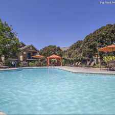
Popular apartment searches include pool, fitness and furnished.
11963 Dapple Way is in the Sabre Springs neighborhood. Sabre Springs is the 108th most walkable neighborhood in San Diego with a neighborhood Walk Score of 21.
Moving to San Diego from another city? View our moving to San Diego guide.


If you are using a screen reader or having trouble reading this website, please call Walk Score customer service at (253) 256-1634.
© 2026 Walk Score