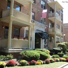
125 King Philip Drive
Almost all errands require a car.
Score Details
125 King Philip Drive has a Walk Score of 23 out of 100. This location is a Car-Dependent neighborhood so almost all errands require a car.
This location is in West Hartford. Nearby parks include Eisenhower Park, Westmoor Park and North Branch State Access Area.
Nearby schools include King Philip Middle School, Intensive Education Academy In and Hall High School.
The closest grocery stores are Crossroads Plaza, The Crown Market and Whole Foods Market.
Nearby coffee shops include Starbucks, Panera Bread and Dunkin' Donuts. Nearby restaurants include Harry's Bishop's Corner, MOOYAH Burgers • Fries • Shakes and Triple Star Chinese Restaurant.
125 King Philip Drive is near Eisenhower Park, Westmoor Park and St. Joseph College.
Explore how far you can travel by car, bus, bike and foot from 125 King Philip Drive.
View all West Hartford apartments on a map.

Popular apartment searches include hardwood floor, fireplace and pool.
This location is in the city of West Hartford, CT. West Hartford has an average Walk Score of 40 and has 63,268 residents.
Faith assembly Of god
Grace Seventh day Adventist Church
Governor's Residence


If you are using a screen reader or having trouble reading this website, please call Walk Score customer service at (253) 256-1634.
© 2025 Walk Score