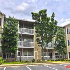
1271 Ponti Mews Northwest
Atlanta, Georgia, 30318
Commute to Downtown Atlanta
Most errands require a car.
A few nearby public transportation options.
.

1271 Ponti Mews Northwest has a Walk Score of 43 out of 100. This location is a Car-Dependent neighborhood so most errands require a car.
This location is in Atlanta. Nearby parks include William T Knight Park, Corner Rest and Rockdale Park.
Explore how far you can travel by car, bus, bike and foot from 1271 Ponti Mews Northwest.
1271 Ponti Mews Northwest has some transit which means a few nearby public transportation options. Car sharing is available from RelayRides.
Rail lines:
GREEN GREEN-Proctor Creek Line
1.4 mi
Bus lines:
14 14th Street / Blandtown
0.1 mi
1 Marietta Blvd/Joseph E Lowery Blvd
0.1 mi
50 Donald Lee Hollowell Parkway
1.4 mi
26 Marietta Street / Perry Boulevard
1.4 mi
1271 Ponti Mews Northwest compared to all of Atlanta.
Lower crime area.
Lower crime area.
How do you feel walking near 1271 Ponti Mews Northwest?
Day:
Night:
Thanks for your feedback!
View all Atlanta apartments on a map.

Popular apartment searches include hardwood floor, pool and fireplace.
This location is in the city of Atlanta, GA. Atlanta has an average Walk Score of 49 and has 420,003 residents.
Spire
Moe's & Joe's Bar & Grill
Westside Urban Market Bridge


If you are using a screen reader or having trouble reading this website, please call Walk Score customer service at (253) 256-1634.
© 2025 Walk Score