
1301 Stirling St
Philadelphia, Pennsylvania, 19111
Commute to Downtown Cheltenham Village
Most errands can be accomplished on foot.
Many nearby public transportation options.
Some bike infrastructure.

1301 Stirling St has a Walk Score of 84 out of 100. This location is Very Walkable so most errands can be accomplished on foot.
This location is in Philadelphia. Nearby parks include Tarken Playground, Max Myers Playground and Max Myers Playground.

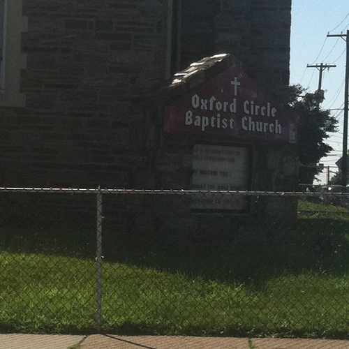
#oxford circle. This is a community church that also has a preschool.
Explore how far you can travel by car, bus, bike and foot from 1301 Stirling St.
1301 Stirling St has good transit which means many nearby public transportation options.
Rail lines:
MFL Frankford TC to 69th St TC
1.1 mi
Fox Chase Line Fox Chase Line
1.5 mi
Bus lines:
59 Castor-Bustleton to Arrott TC
0.1 mi
26 FTC to Chelten Av Station
0.3 mi
This location is in the city of Philadelphia, PA. Philadelphia has an average Walk Score of 75 and has 1,526,006 residents.

Hutchinson Street
The Liberty Bell
Stinger Square Park
If you are using a screen reader or having trouble reading this website, please call Walk Score customer service at (253) 256-1634.
© 2026 Walk Score
Hope Ann Callahan Sabatini