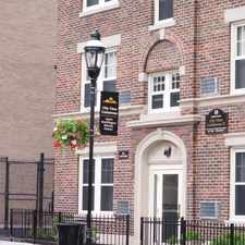
132 Suffolk Street
Upper Hill, Springfield, 01109
Commute to Downtown Springfield
Some errands can be accomplished on foot.
A few nearby public transportation options.
About your score
132 Suffolk Street has a Walk Score of 68 out of 100. This location is Somewhat Walkable so some errands can be accomplished on foot.
This location is in the Upper Hill neighborhood in Springfield. Nearby parks include Wesson Park, Benedum Field and G Frank Adams Park.
Explore how far you can travel by car, bus, bike and foot from 132 Suffolk Street.
132 Suffolk Street has some transit which means a few nearby public transportation options.
Bus lines:
G3 Spfld. Plaza via Liberty/King-Westford-Walnut/Spfl
0.1 mi
B17 Eastfield Mall via Worthington-Wilbraham Rd-Parker
0.3 mi
R27 Wilbraham/Eastfield Mall/Sixteen Acres
0.3 mi
132 Suffolk Street is in the Upper Hill neighborhood. Upper Hill is the 8th most walkable neighborhood in Springfield with a neighborhood Walk Score of 67.


If you are using a screen reader or having trouble reading this website, please call Walk Score customer service at (253) 256-1634.
© 2024 Walk Score