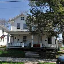
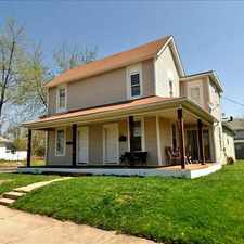
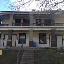
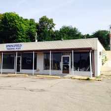
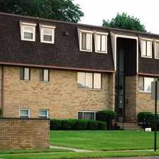
1326 Rutland Avenue

Most errands require a car.
Score Details
1326 Rutland Avenue has a Walk Score of 37 out of 100. This location is a Car-Dependent neighborhood so most errands require a car.
This location is in Springfield. Nearby parks include Evans Stadium, East High Street Historic District and South Fountain Avenue Historic District.
Nearby schools include Kenwood Elementary School, Springfield Preparatory and Fitness Academy and Life Skills Center-Springfield.
The closest grocery stores are T & A Grocery & Carryout, Kroger and Selma Road Fruit Market.
Nearby coffee shops include Shamrock Lanes Family Entertainment Center and Un Mundo Cafe. Nearby restaurants include Subway, Hung Lung Chinese Restaurant and Catering and Charles L Taylor.
1326 Rutland Avenue is near Perrin Woods, Davey Moore Park and Wittenberg University.
Explore how far you can travel by car, bus, bike and foot from 1326 Rutland Avenue.
View all Springfield apartments on a map.

Popular apartment searches include single family and fireplace.
This location is in the city of Springfield, OH. Springfield has an average Walk Score of 38 and has 60,608 residents.
Learn More About Springfield


If you are using a screen reader or having trouble reading this website, please call Walk Score customer service at (253) 256-1634.
© 2026 Walk Score