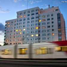
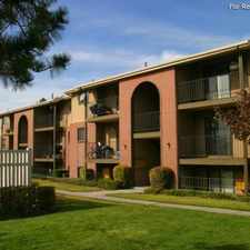
1470 East Military Way

Most errands require a car.

Many nearby public transportation options.

Steep hills, excellent bike lanes.
Score Details
1470 East Military Way has a Walk Score of 29 out of 100. This location is a Car-Dependent neighborhood so most errands require a car.
1470 East Military Way is a 12 minute walk from the 703 RED LINE at the UNIVERSITY MEDICAL CENTER stop.
This location is in the Greater Avenues neighborhood in Salt Lake City. Nearby parks include Reservoir Park, Popperton Park and Rose Garden.
Explore how far you can travel by car, bus, bike and foot from 1470 East Military Way.
1470 East Military Way has good transit which means many nearby public transportation options.
Rail lines:
703 RED LINE
0.4 mi
Bus lines:
354 SANDY / U OF U FAST BUS
0.1 mi
11 11TH AVENUE
0.1 mi
2 200 SOUTH
0.1 mi
313 SOUTH VALLEY / U OF U FAST BUS
0.1 mi
213 1300 EAST / 1100 EAST
0.1 mi
9 900 SOUTH
0.1 mi
6 6TH AVENUE
0.1 mi
2X 200 SOUTH EXPRESS
0.3 mi
473 SLC - OGDEN HWY 89 EXPRESS
0.3 mi
21 2100 SOUTH / 2100 EAST
0.3 mi
View all Greater Avenues apartments on a map.

Popular apartment searches include hardwood floor, pool and fitness.
1470 East Military Way is in the Greater Avenues neighborhood. Greater Avenues is the 11th most walkable neighborhood in Salt Lake City with a neighborhood Walk Score of 54.
370 A Street
Huntsman Cancer Institute
280 North



If you are using a screen reader or having trouble reading this website, please call Walk Score customer service at (253) 256-1634.
© 2026 Walk Score