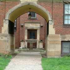
1791 Wrenford Road
Most errands require a car.
Score Details
1791 Wrenford Road has a Walk Score of 33 out of 100. This location is a Car-Dependent neighborhood so most errands require a car.
This location is in South Euclid. Nearby parks include Bexley Park, Boxley Park and South Euclid WWII Memorial.
Nearby schools include Rowland Elementary School, Regina High School and Greenview Upper Elementary School.
The closest grocery stores are J & M Mart, Chef's Ingredient and Giant Eagle.
Nearby coffee shops include Sanctuary on Green, Dunkin' Donuts and South Euclid Cafe. Nearby restaurants include Penn Station East Coast Subs, Battiste & Dupree Cajun Grill and Whitmore's BBQ.
1791 Wrenford Road is near Notre Dame College of Ohio.
Explore how far you can travel by car, bus, bike and foot from 1791 Wrenford Road.
Bus lines:
34 East 200 - Green
0.4 mi
41-41F Warrensville
0.5 mi
View all South Euclid apartments on a map.

Popular apartment searches include hardwood floor, single family and fireplace.
This location is in the city of South Euclid, OH. South Euclid has an average Walk Score of 42 and has 22,295 residents.
Cuyahoga County Public Library
Cuyahoga County Public Library
Cuyahoga County Public Library


If you are using a screen reader or having trouble reading this website, please call Walk Score customer service at (253) 256-1634.
© 2026 Walk Score